Freedom Trail
The Complete Guide to Boston's Freedom Trail
Everything you need to plan your walk: route, stops, timing, food and how to hear the stories.
What is the Freedom Trail?
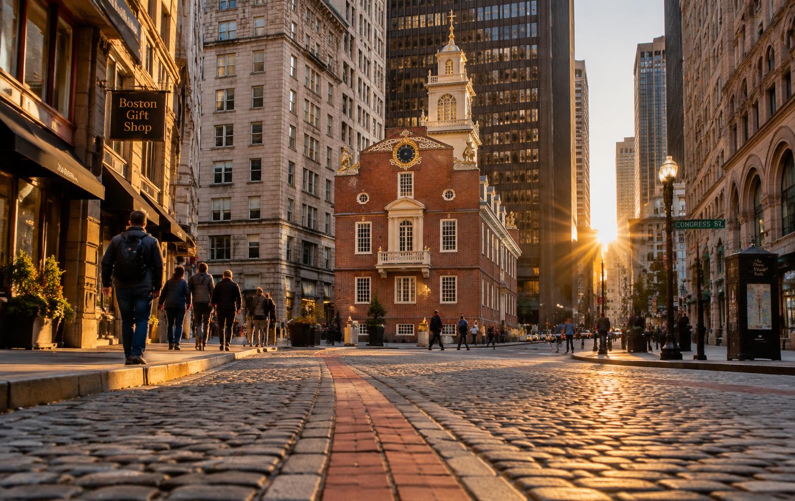
The Freedom Trail is a 2.5-mile route marked by a red line that links 16 historic sites in Boston. It was created in 1951 by local journalist William Schofield and civic leaders who wanted to make Boston's Revolutionary history easy to explore on foot.
The route at a glance
The trail begins at Boston Common, winds through downtown past churches, burying grounds and meeting houses, crosses into the North End, and ends across the river in Charlestown at the Bunker Hill Monument.
How to experience it
You can simply follow the red line, join a costumed guided tour, or use a self-guided audio tour that plays stories as you reach each site. Each has its strengths — see our guide to walking without a guide.